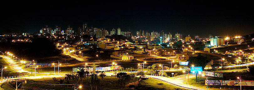
About São Carlos
With a population of 221,950 inhabitants (IBGE 2010 Census), São Carlos is located in the geographic center of the State of São Paulo, about 230 km from the capital. The formation of the urban center of São Carlos do Pinhal - the name referred to the natural forests of araucaria pines existing in the region - began at the end of the XVIII century, with the opening of the path known as "Picadão de Cuiabá", which linked the São Paulo's coast to the mines of the interior of the country.
The urban development of São Carlos is associated with the presence of the railroad inaugurated in 1884 that favored its insertion in the vigorous São Paulo's coffee economy. In São Carlos, the Arruda Botelho family, which at the end of the 18th century acquired the lands of Sesmaria do Pinhal, was a protagonist in the process of installing railway infrastructure, creating banks and accumulating commercial and industrial capital.
The transition from an economy based on slave labor to the predominance of free settlers, with European origin, especially Italian, finished in a demographic composition marked by different ethnic and racial groups. Immigrants played a prominent role in setting up the first industries and were also involved in local politics.
From the 1930s onwards, the industrial economy associated with the state government's investments in road infrastructure was consolidated. With the installation in the early 1950s of the School of Engineering of São Carlos (USP), Federal University of São Carlos (UFSCar) in the 1970s, and a unit of the Brazilian Agricultural Research Corporation (EMBRAPA) , in the 1980s, the city consolidated its profile as a technological development center and public undergraduate and graduate education.

